
HOME > News Center > Events
| Underground:Singapore's Next Frontier Singapore today does not have a centralised platform that collates different types of information for underground planning such as utility plans, building records, and geological data. this creates difficulties and challenges for them. For example, you have to purchase separate utility plans from different utility providers, and this can be a frustrating and time-consuming process. If a particular type of utility is accidentally overlooked during the planning and design process, there could be damage to the system during construction and potentially cause blackouts and burst pipelines, all of which are avoidable. Minister Lawrence Wong announce that by the end 2018, the industry will be able to purchase these underground plans from a single, consolidated platform – Singapore Land Authority’s (SLA) INLIS, or the Integrated Land Information Service. With INLIS as a one-stop portal for all underground utility plans. From July 2018, SLA and the Building and Construction Authority (BCA) will also share the geological information collected from government projects on INLIS. This will be freely available on the website, as a reference for site investigation and construction works. URA will do more with digital and 3D technologies. By tapping on them, agencies are better able to share and visualise data for better planning. This is why BCA is developing a 3D model that will show Singapore’s geological formation in detail. This repository of data was gathered painstakingly, so that duplicative work can be avoided in future. Separately, URA is also working on the 3D Underground Master Plan. Today, you can take a look at some of the visuals that have been included in the exhibition, which give a sense of what an underground map might look like. It will show what is already there in the ground, what we plan to build in the future, and the regulations and requirements for industry. All of these can be updated whenever things change on the ground. With an accurate 3D map, we can look at safeguarding underground space for future use, so that we do not miss out on major opportunities. We can also plan more holistically for aboveground and underground possibilities, to ensure they are compatible, integrated and seamless. 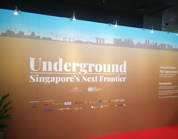 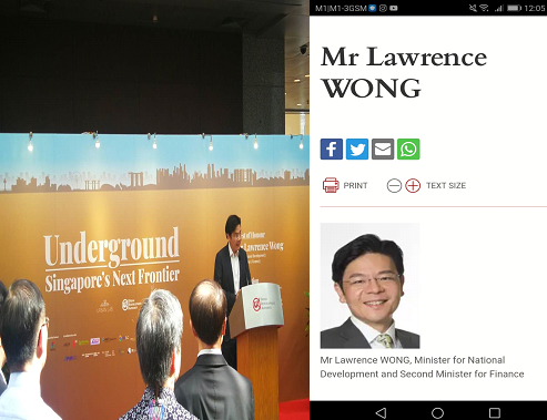 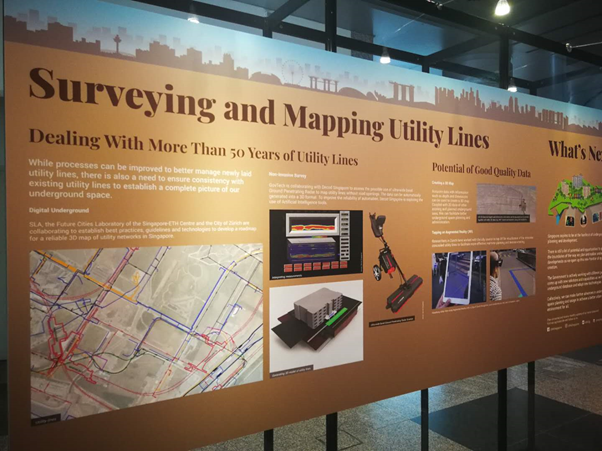 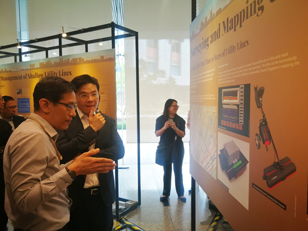 |